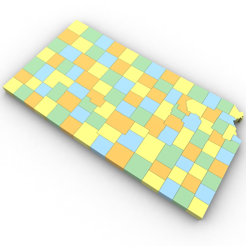
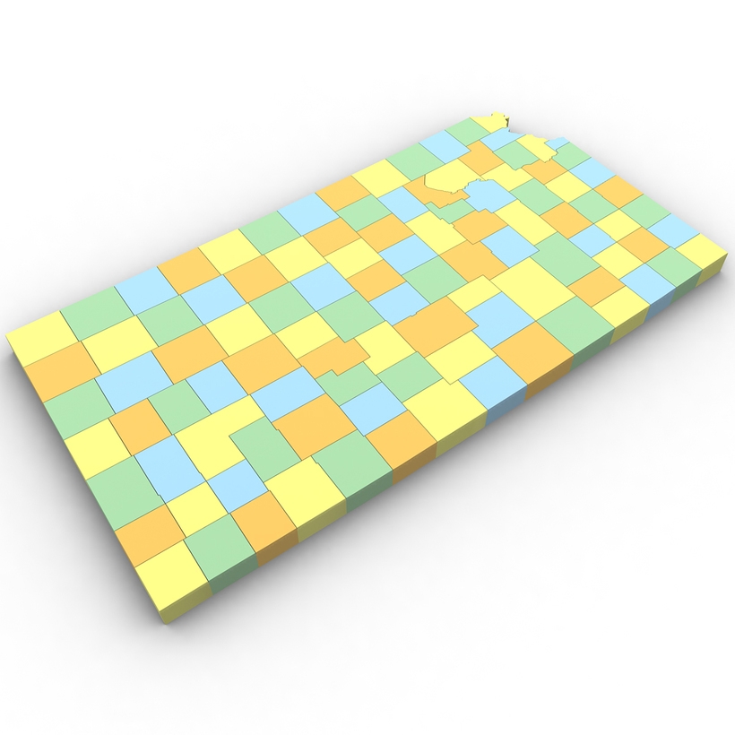
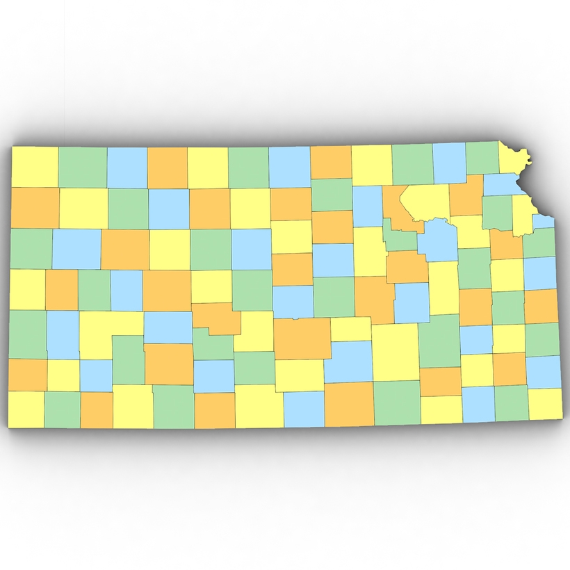
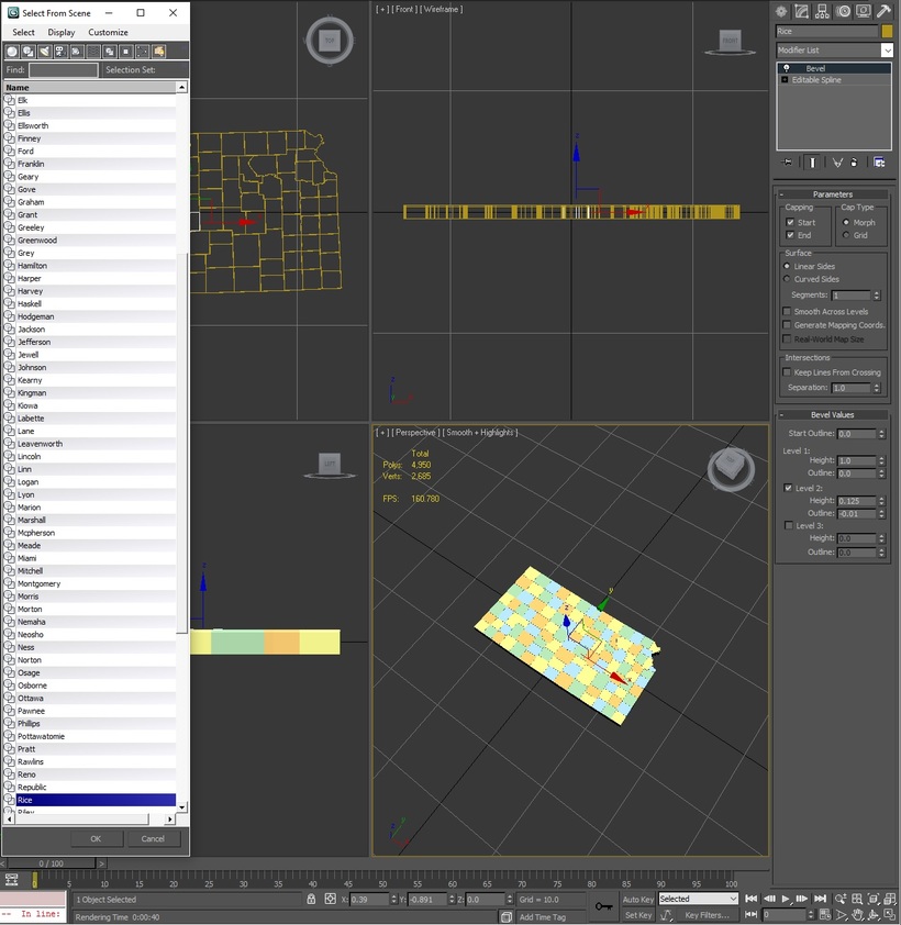
3d Model of the Political Map of Kansas. Features every county in the state. The modifier stack is uncollapsed allowing for easy change of extrusion settings.
Free File Conversions: Need this 3d model in another format? please Contact Support to verify we can provide the format you need.
Please use the Support Forum if you have any questions or problems.
Please rate and review in the Review section.
3d model of the map of The United States. Includes all 50 states in addition to the District of Columbia. 3ds max version and all exported geometries include standard procedural materials; no addit...
Low poly 3d model of a Scrabble Board Game. Comes complete with both Vray and Standard procedural materials in .Max format. Exported formats will not contain advanced materials. Please Note: Textu...
High poly 3d model of a AMD Phenom II CPU. Comes complete with texture maps and Vray procedural materials. Standard materials are also included for the 3ds max version and all exported geometries.
High poly 3d model of a Ten Tec Eagle Transceiver. Comes complete with Vray procedural materials, HDRI and texture maps. Standard materials are also included for the 3ds max version and all exporte...