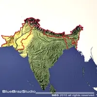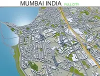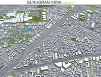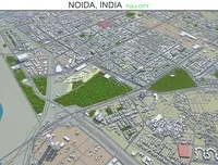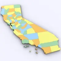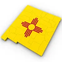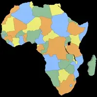
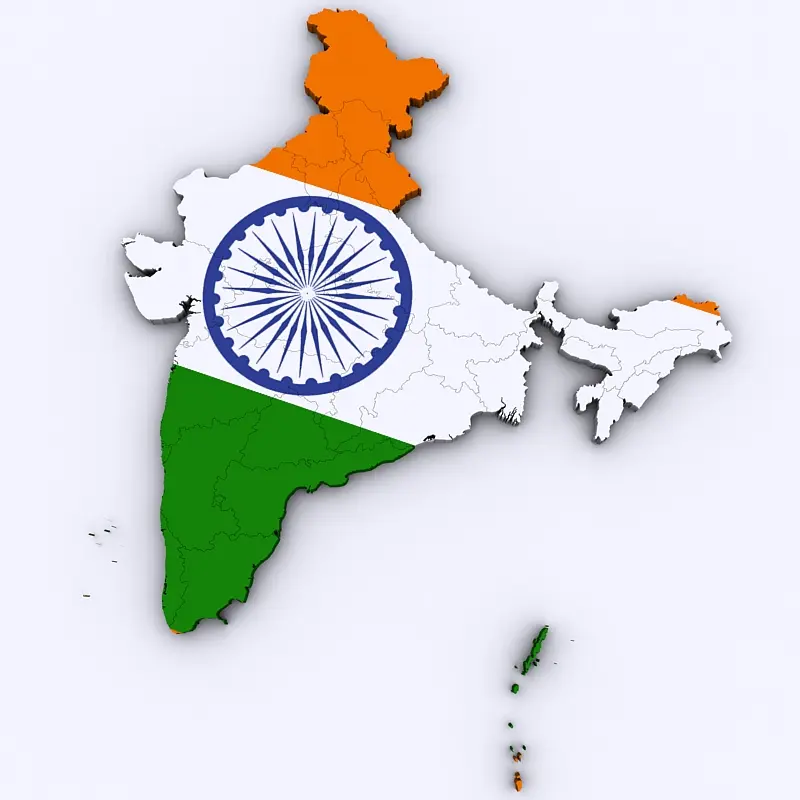
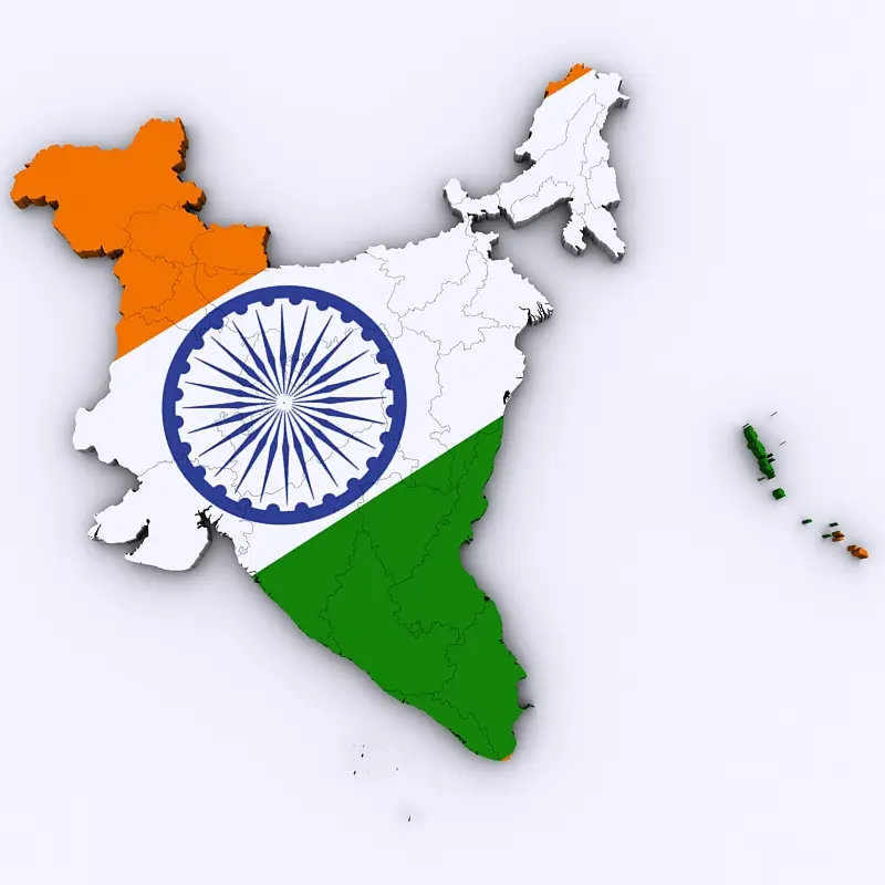
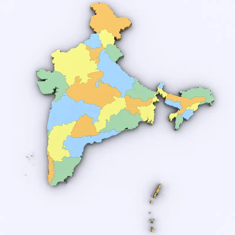
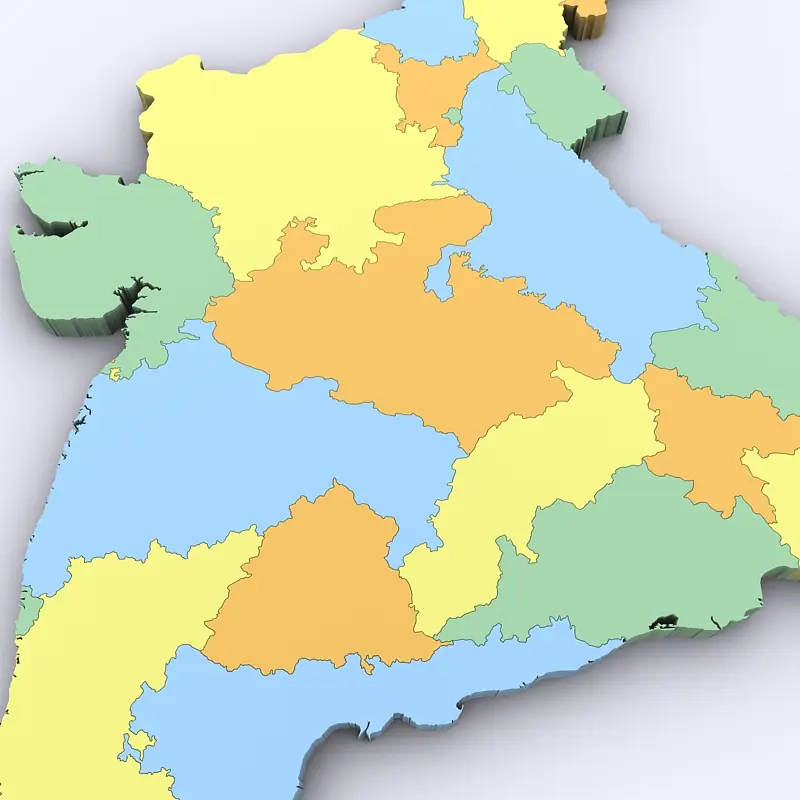
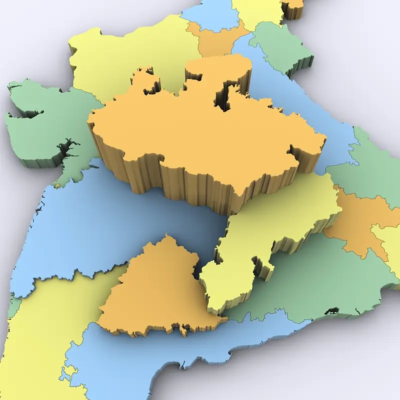
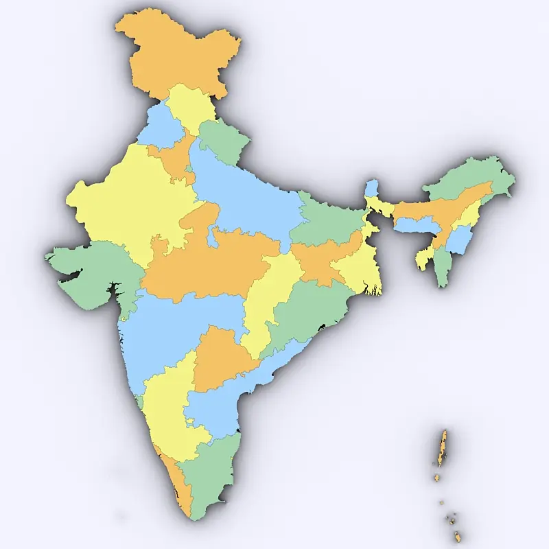
High poly 3d model of the map of India. Includes all the states and territories of India in a very detailed complete map.
3ds max version and all exported geometries include standard procedural materials; no additional plugins are required for this product.
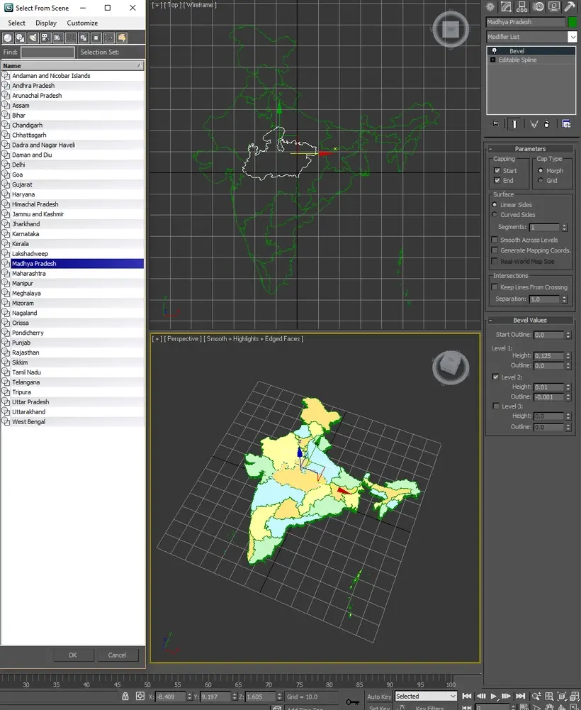
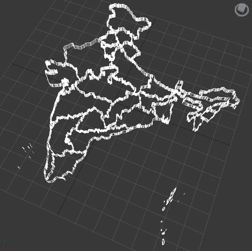
3ds Max Version Only All states/territories are editable splines with the bevel modifier applied allowing for adjustments in height. All exported versions will be editable poly/mesh. All models are properly labeled with correct names.
3ds max version and all exported geometries include standard procedural materials; no additional plugins are required for this product.
3ds Max Version Only All states/territories are editable splines with the bevel modifier applied allowing for adjustments in height. All exported versions will be editable poly/mesh. All models are properly labeled with correct names.
Free File Conversions: Need this 3d model in another format? please Contact Support to verify we can provide the format you need.
Please use the Support Forum if you have any questions or problems.
Please rate and review in the Review section.
Please rate and review in the Review section.